Today we traveled to Sequoia and Kings Canyon National Parks. We traveled along the Generals Highway which connected both of these parks. This 60 mile long belt contains about 67 giant sequoia groves. These parks contain the most rugged portions of the Sierra Nevada. These canyons were formed (depending on elevation) either by ice age glacial gouging or by water carving. Elevation in these parks can go from 1,500 to 14,494 feet. However, we only drove to an elevation of 7, 800 feet due to that is where the roads top out. The temperature today (just in our drive through these two parks) ranged from about 70 degrees to 100 degrees. The higher we went up, the cooler it got. Sequoias grow only on the west slope of the Sierra Nevada. They usually grow in the 5,000-7,000 elevation range. The General Sherman Tree was the highlight of the trip. This GIANT sequoia tree is estimated to be 2,200 years old. It stands 275 feet tall. It's trunk weighs an estimated 1,385 tons and it's circumference at the ground is about 100 feet. It is the world's largest living tree. Sequoia National Park is America's second oldest national park. It was created in 1890. Kings Canyon Park was established about a week later. Driving through these parks was very peaceful and serene. The air smelled of pine and the birds chirped throughout our time of travel. Riding through these parks in a convertible made this experience even more enjoyable. We were completely and totally immersed in the giant trees. On a side note, we saw signs that warned us of bears, but saw no bears. However, we did come across a few interesting places within the park. Across from where we stopped to have a picnic lunch, we saw a site that was once used as a community kitchen for Native Americans. (see pictures that show and tell about this neat place). Close by the community kitchen was a cave like-rock like area called Hospital Rock. On the side of the rock, high up we saw some writing. It appeared to be Native American symbols or writing. However, we wondered if this was legit since there really wasn't any "visitor sign" explaining this Indian form of writing.
Once we left Sequoia National Park and Kings Canyon National Park we headed towards San Francisco. Although our hotel was on the outskirts of San Francisco, in a city called Oakland, we decided to drive into San Francisco to see the Golden Gate Bridge at night. It wasn't as spectacular as we had thought it might be at night. However, there was plenty of traffic and quite a bit of road construction. We are planning to go back into San Francisco tomorrow to check out The Fisherman's Wharf and then on to Half Moon Bay for a day and evening at the beach. Seeing the Pacific Ocean will be real treat for all of us.
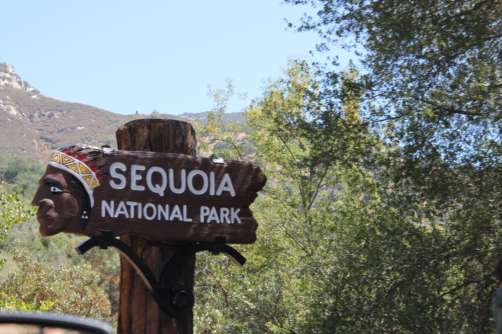
More citrus groves along the way The Sequoia National Park.
These are orange trees but we saw other types of fruit growing
along the roadside.

Notice the reddish tint on the rock above John's head.
Now, take a look at the two pictures below.
The General Sherman
The General Sherman again
More windmills. Notice the land and how it's rolling.
Bay Bridge in San Francisco.


No comments:
Post a Comment